The place
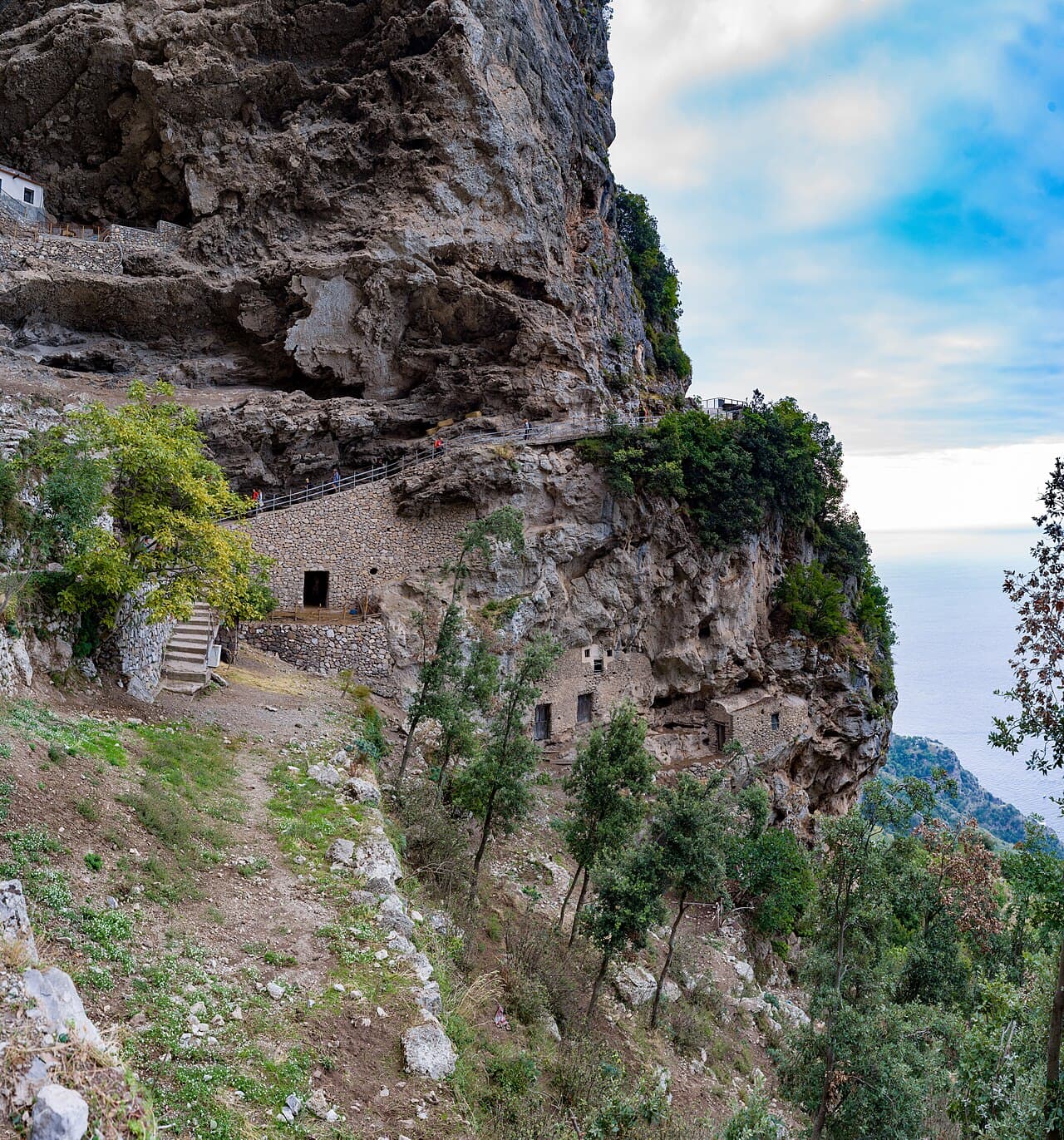
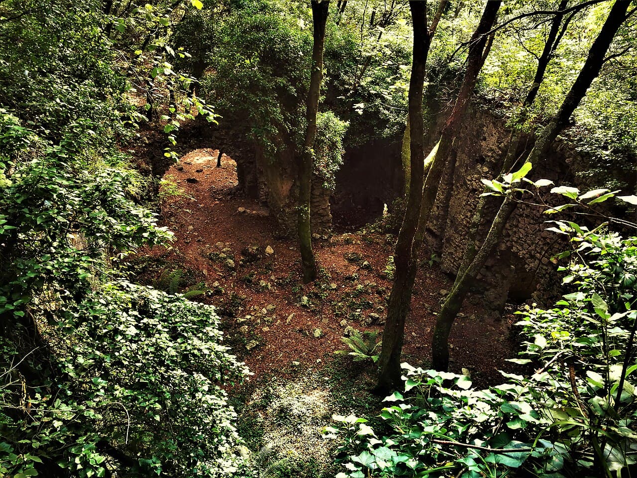
Valle delle Ferriere preserves a cooler, wetter landscape behind the Amalfi Coast. Routes vary greatly: starting in Pontone gives a panoramic descent, while protected sections of the reserve may require regulated access.
Choose the route before the starting point
Pontone and Amalfi are not interchangeable entrances. One choice changes the gradients, the number of steps and the return logistics.
The path passes water, woodland and industrial remains, but some sensitive areas are protected. Follow signs and any reservation requirements.
The practical limit is the return
A one-way walk can finish far from where you started. Plan buses or a taxi before setting out, especially outside the main season.
Stone and timber surfaces stay damp even on bright days. Proper footwear matters more here than the headline distance.
Before you go
- • Check the official channel for current access rules and closures.
- • Save the route before leaving: mobile coverage can be unreliable.
- • Allow extra time for parking, the last admission and the return journey.
Getting there
Main approaches start in Pontone di Scala and Amalfi. Select one route in advance.
Parking in Pontone is very limited; local buses or a taxi are preferable.
SITA buses serve Scala, Pontone and Amalfi, followed by a walk.
Map and coordinates
40.65200, 14.60100
Map ready as you scroll
What to bring
- • Water
- • Shoes with good grip
- • A charged phone
Services
- • Services in Pontone and Amalfi
- • No guaranteed facilities inside the valley
Risks and restrictions
- • Stones are slippery near streams.
- • Do not enter regulated reserve sectors without permission.
Accessibility
- • Many steps, natural surfaces and substantial elevation change.
Sources
Photo: Wikimedia Commons · licenza indicata nella pagina del file