The place
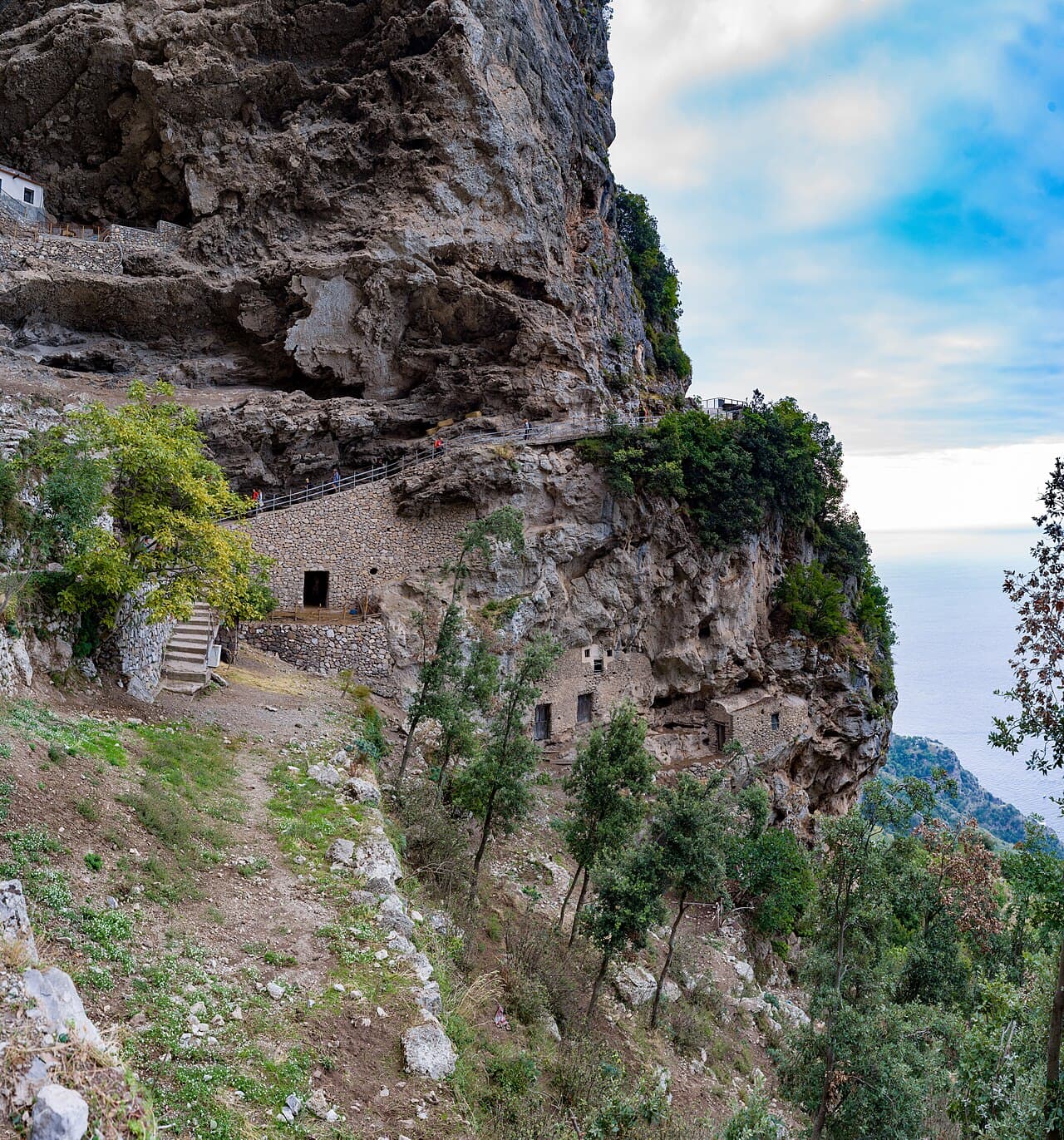
The best-known route links Bomerano with Nocelle and keeps wide coastal views for much of the walk. It is a linear trail: plan the return by bus and account for exposed sections and the many steps towards Positano.
A linear route needs transport planning
The classic walk does not return to its starting point. Deciding whether to stop at Nocelle or continue down to Positano changes the effort considerably.
Public transport is normally the simplest solution, but summer traffic can stretch journey times. Leave a margin rather than booking a tight connection.
Exposure matters more than distance
The route is not technically difficult in dry conditions, yet several sections are exposed and shade is limited.
Start early, carry enough water and avoid storms, strong wind and the hottest summer hours.
Before you go
- • Check the official channel for current access rules and closures.
- • Save the route before leaving: mobile coverage can be unreliable.
- • Allow extra time for parking, the last admission and the return journey.
Getting there
The classic start is Piazza Capasso in Bomerano; the route ends in Nocelle above Positano.
Parking in Bomerano is limited; buses and arranged transfers are preferable.
Buses serve Agerola and Bomerano, with local connections from Nocelle to Positano.
Map and coordinates
40.62400, 14.54800
Map ready as you scroll
What to bring
- • Plenty of water
- • Hiking shoes
- • Sun and wind protection
Services
- • Services in Bomerano and Nocelle
- • Limited facilities along the trail
Risks and restrictions
- • Several sections are exposed without continuous barriers.
- • Avoid storms, strong winds and extreme heat.
Accessibility
- • Rocky surfaces, steps and exposed sections; not wheelchair accessible.
Sources
Photo: Wikimedia Commons · licenza indicata nella pagina del file