The place
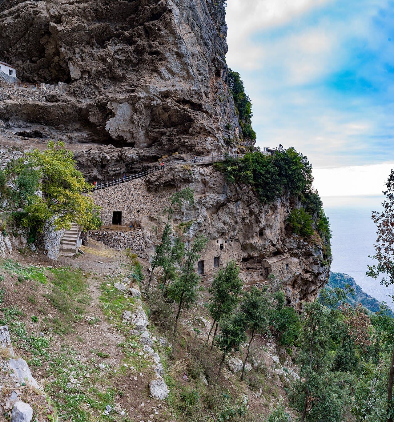
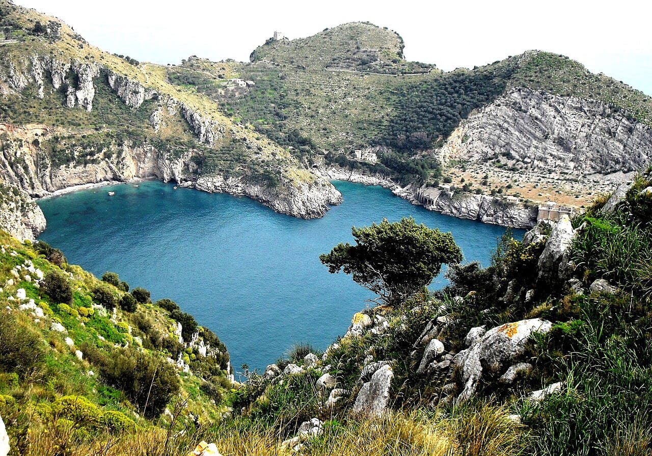
The path from Nerano descends through Mediterranean scrub, olive groves and traces of the former quarry. There is no road access to the bay, so the uphill return, sun exposure and lack of services must be planned before leaving.
The walk is part of the destination
Ieranto is not a beach reached after a short flight of steps. The exposed trail and return climb define the day as much as the water does.
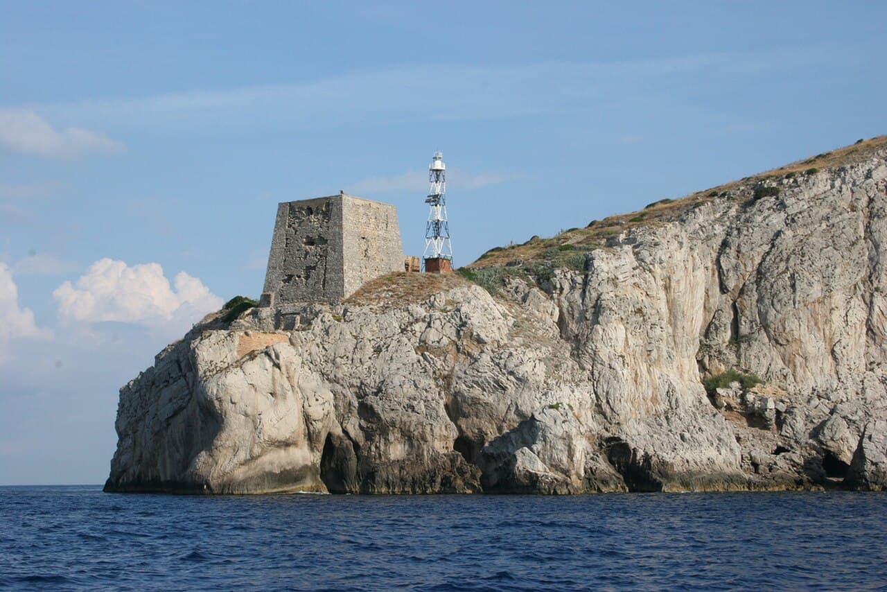
Views open gradually towards Capri and Punta Campanella. Starting early protects both the experience and the return from the strongest heat.
A protected bay with no shortcuts
Bring everything you need and carry everything back. There are no shops, taps or road pickups at the bottom.
The area is managed for conservation. Activities, access rules and occasional closures should be checked with FAI before departure.
Before you go
- • Check the official channel for current access rules and closures.
- • Save the route before leaving: mobile coverage can be unreliable.
- • Allow extra time for parking, the last admission and the return journey.
Getting there
From central Nerano follow the FAI-signed footpath and account for the uphill return.
Paid and limited parking in Nerano; there is no parking at the bay.
EAV or SITA buses reach Nerano, followed by the full route on foot.
Map and coordinates
40.57500, 14.34700
Map ready as you scroll
What to bring
- • At least 1.5 litres of water per person
- • Hiking shoes
- • Sun protection
Services
- • No services in the bay
- • Shops and food in Nerano
Risks and restrictions
- • There is no drinking water in the bay.
- • The return is uphill with strong sun exposure.
Accessibility
- • A long, uneven and exposed path; not wheelchair accessible.
Sources
Photo: Wikimedia Commons · licenza indicata nella pagina del file