The place
Cuma was among the earliest Greek colonies in the western Mediterranean. The route combines sacred terraces, Roman remains and the Sibyl's Cave across a large, exposed archaeological landscape.
More landscape than museum
Cuma is read by walking between levels of the acropolis. Sea views, woodland and ancient structures matter as much as the individual monuments.
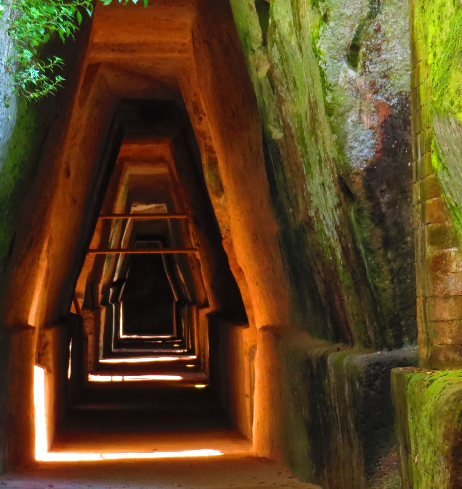
The Sibyl's Cave is the best-known space, but access can change for maintenance. Plan the visit around the whole site rather than a single monument.
Time, heat and uneven ground
Allow around two hours and expect slopes and irregular paving. Shade is limited on the upper terraces.
Morning visits are preferable in summer. Check the official park for the last admission and any temporarily closed sectors.
Before you go
- • Check the official channel for current access rules and closures.
- • Save the route before leaving: mobile coverage can be unreliable.
- • Allow extra time for parking, the last admission and the return journey.
Getting there
The visitor entrance is on the Cuma–Licola provincial road west of Pozzuoli.
Parking is outside the archaeological area; arrive near opening time on holidays.
Public connections vary. Verify the final bus and walking distance for the chosen day.
Map and coordinates
40.84861, 14.05361
Map ready as you scroll
What to bring
- • Water
- • Shoes with grip
- • Sun protection
Services
- • Ticket office when scheduled
- • Guided visits according to programme
Risks and restrictions
- • Do not cross barriers or enter closed excavation areas.
- • Heat and uneven ground can make the route tiring.
Accessibility
- • Historic paving and steps are present; ask the park which sections offer step-free access.
Sources
Photo: Wikimedia Commons · licenza indicata nella pagina del file