The place
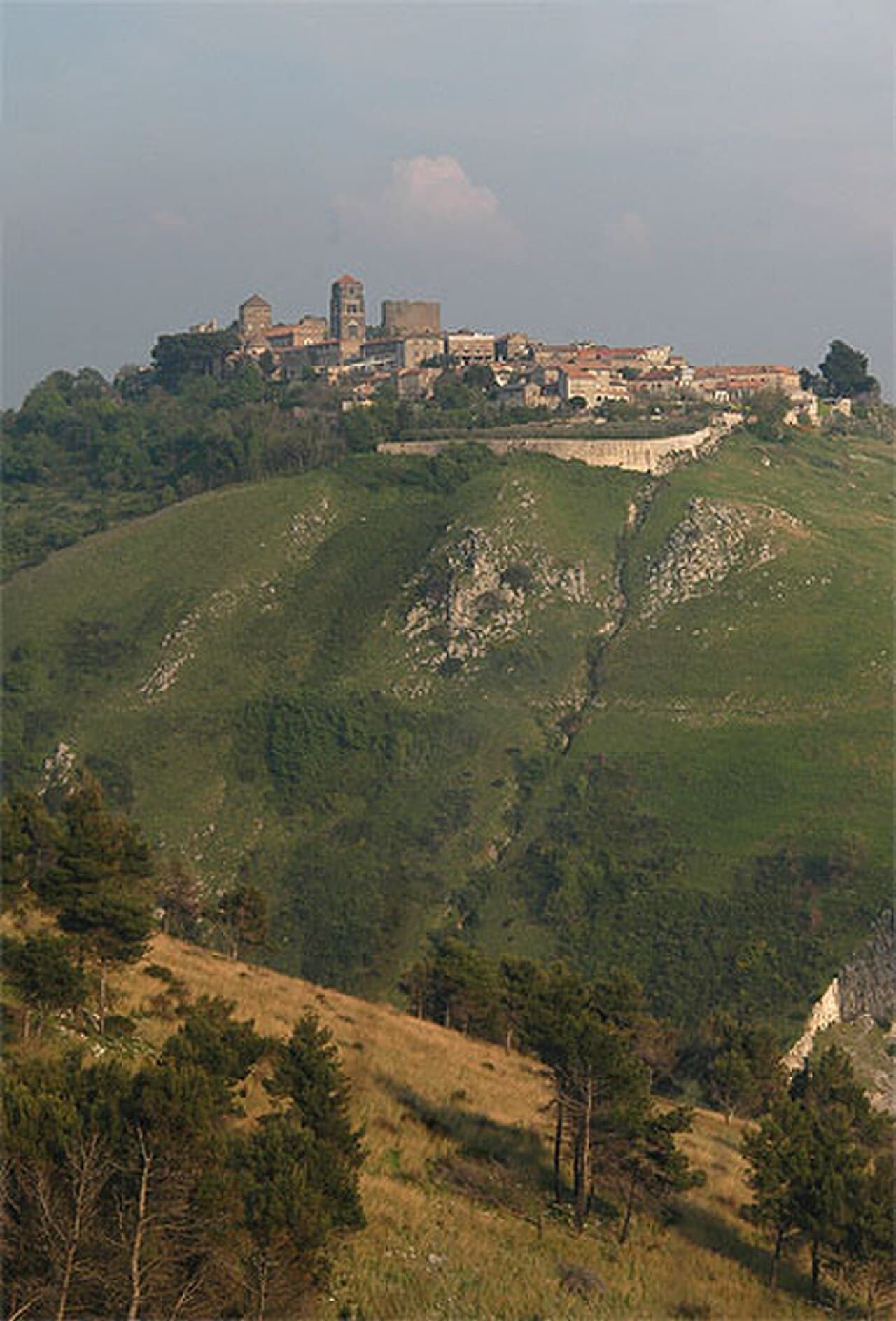
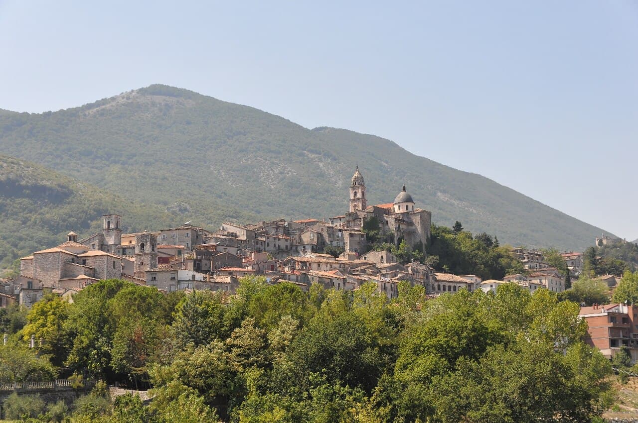
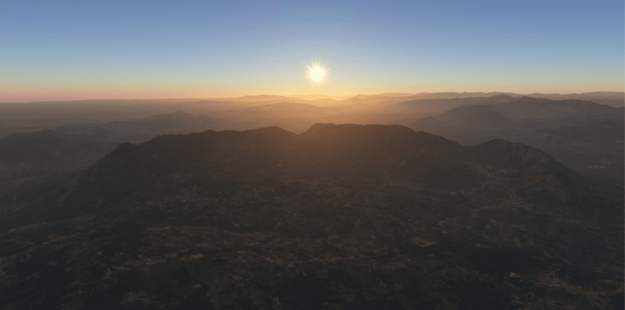
Monte Taburno offers forest tracks, ridge routes and views over the Caudina Valley. It is a mountain outing, with sparse services and route conditions that depend on weather.
Choose one route, not a mountain name
Different trailheads produce very different walks. Record the chosen start and return rather than navigating only to Monte Taburno.
The woods are quiet outside weekends. That also means fewer people and less mobile coverage if something goes wrong.
Plan the visit
Use a documented trailhead from the Bonea, Bucciano or Vitulano side. Parking is informal or limited near trailheads; never block forest access.
Open subject to forestry restrictions, fire risk and weather. Mobile coverage is unreliable.
Before you go
- • Check the official website for opening times, closures and booking rules.
- • Save the return route and allow extra time for local transport.
- • Conditions can change after bad weather or during public events.
Getting there
Use a documented trailhead from the Bonea, Bucciano or Vitulano side.
Parking is informal or limited near trailheads; never block forest access.
No practical public connection reaches the main trailheads.
Map and coordinates
41.10833, 14.60833
Map ready as you scroll
What to bring
- • Water and food
- • Hiking shoes
- • Offline route and warm layer
Services
- • No guaranteed services on trails
- • Facilities in nearby towns
Risks and restrictions
- • Mobile coverage is unreliable.
- • Avoid storms, fog and days with wildfire restrictions.
Accessibility
- • Mountain paths are not step-free.
Sources
Photo: Wikimedia Commons · licenza indicata nella pagina del file